Weather Poses Challenges Across Southwest Connecticut
Last week saw three storms hit southwest Connecticut, with another coming through the area January 15-16.
The second week of January brought multiple weather-related challenges to residents of southwest Connecticut, from high winds to coastal flooding,
Three storms came through the area over the last week or so, with another one moving into the region Monday, January 15 into Tuesday, January 16. The storms started with the area’s first measurable snowfall of the winter season last Saturday, January 6. Southwest Connecticut saw about 2-4 inches from the storm, with smaller totals closer to the Long Island Sound. According to the National Weather Service, parts of Greenwich saw 4.5 inches, while Stamford received around 3.5 inches, and Norwalk received about 3 inches of snow.
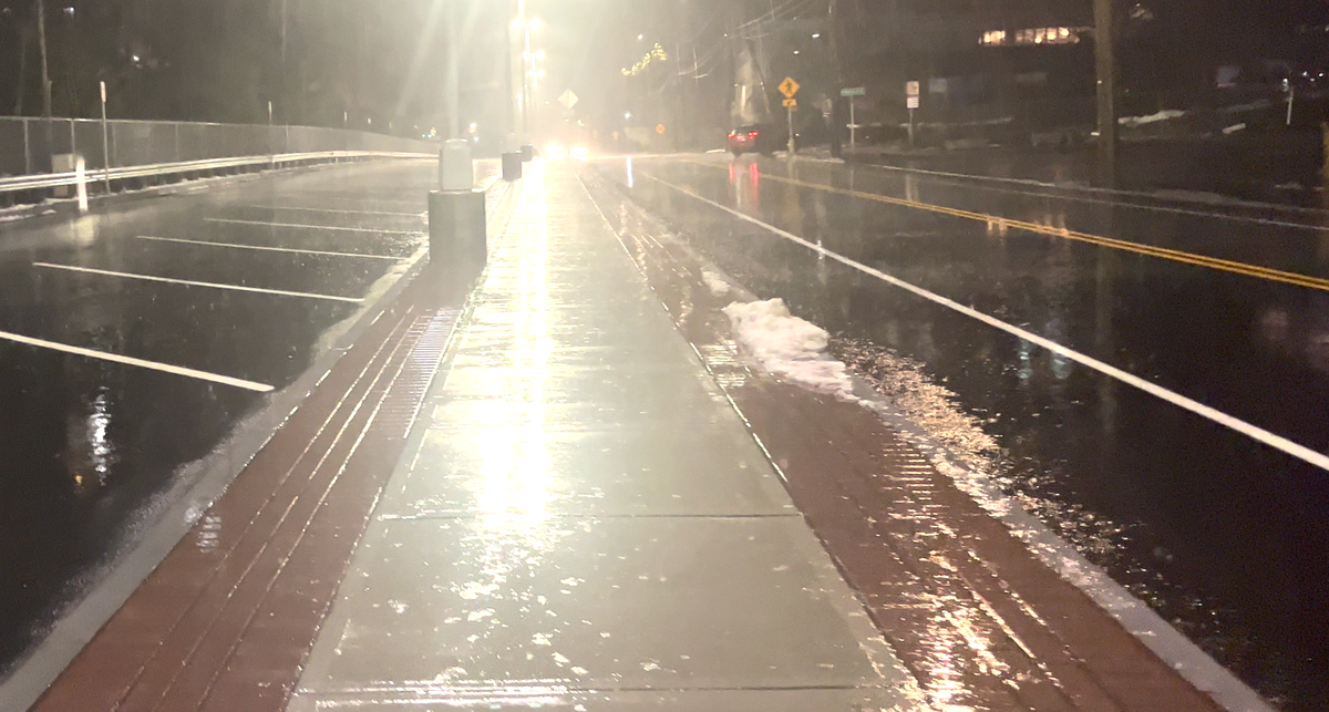
But the two storms that followed caused more problems for the region, bringing heavy rainfall and strong winds. From Tuesday evening into Wednesday, our area saw around 2 to 3 inches of rain and high wind gusts. The National Weather Service reported that Greenwich saw 3.16 inches of rain from this storm, along with 2.5 inches in Darien and slightly less in parts of Norwalk, Stamford, and Fairfield.
Stamford saw wind gusts of up to 60 miles per hour with this storm, while other municipalities like Fairfield clocked in at 59 mph and Greenwich with 54 mph gusts. The wind and rain knocked trees down across the area and left some without power.
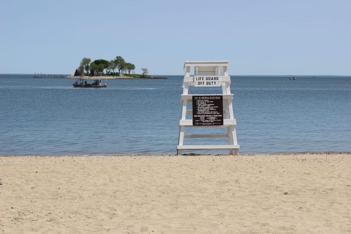
Another storm came in the night of Friday, January 12 into Saturday, January 13 with an additional 1.6 inches of rain falling in Norwalk and Greenwich. However, this storm also coincided with high tides in the Long Island Sound, which flooded many low-lying areas around the region including Water Street in Norwalk and Fairfield Beach Road in Fairfield.
Forecast for the Season
Officials from the National Oceanic and Atmospheric Administration predicted that Connecticut would experience the effects of El Niño this winter. El Niño is a climate pattern that occurs in the Pacific Ocean and affects weather patterns across the world. During this pattern, the warmer waters in the ocean alter jet streams that move storms across the country, often causing warmer and wetter patterns.
NOAA officials noted that “several research studies have noted an increased frequency of East Coast storms during El Niño winters.” Called nor’easters, these types of storms have numerous impacts on coastal areas, including beach erosion, high winds, heavy snowfall, and precipitation.
El Niño also tends to cause more high tide flooding days—like those our region experienced this past week.
“This year, the Northeast is predicted to experience between 4 and 10 high tide flood days, representing an approximately 150% increase in flood days since the year 2000,” a statement from NOAA reads.
And the Northeast also tends to have more snowfall during an El Niño winter, compared to other winters.
“In regions closer to the coast, December through February snowfall is as much as 6 inches greater during such winters,” the statement reads.
Learn more about the impact of these weather patterns on the state from the Connecticut Mirror.