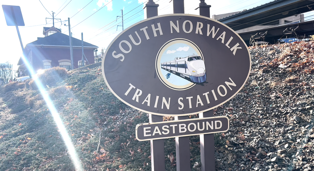
All Aboard: In and Around South Norwalk Train Station
We take you inside the plans for the South Norwalk Train Station—and the area around it—in our next installment of our All Aboard series.

The South Norwalk train station is one of the busiest in the region, serving as a hub and connection point for both trains on the New Haven main line (which run from New Haven to New York) and trains on the Danbury branch (which run from Danbury to South Norwalk).
“South Norwalk had the sixth highest average weekday ridership compared to other Metro North stations on the New Haven Line, and the eleventh-highest average weekday ridership compared to other stations across all Metro North’s lines [including the Harlem and Hudson lines],” the South Norwalk Station Area plan found.
It also serves as a major transportation hub in the city itself, with three bus lines and six commuter shuttles running to and from it on a daily basis. Nearly 6,000 riders pass through the station on an average weekday, according to the study, including both bus and rail users.
The surrounding area has also seen major growth as the city has focused on transit-oriented development in this area. The city adopted a South Norwalk Train Station Plan in 2022 that made recommendations for improving the station itself and about 20 acres around it.
Let’s dive deeper into the current construction taking place around the South Norwalk Train Station and future plans and what that all means for Norwalk—and the region as a whole.
The Heart of the City
The station and the area around it has become a hub of development over the past few years, as Norwalk has focused on building near transit centers. It’s also located just a few blocks from the city’s main downtown area—Washington Street—which, in addition to easy access to the train, has helped make it an attractive area.
On the New York-bound side of the station is SONO One, an apartment complex that’s a few years old, while most of the major development has taken place along the New Haven-bound side of the station. More than 400 units have been approved—with more than 100 already finished—for the Chestnut/Monroe Street area.
Spinnaker Real Estate Partners completed The Platform development, which included the historical rehabilitation of an original shirt factory at 11 Chestnut Street and a new 106-unit apartment building at 1 Chestnut Street about three years ago. It is also finishing work on Sono Central, a 150-unit project at 10 Monroe Street, which also includes about 3,000 square feet of restaurant and retail space and the rehabilitation of two existing commercial buildings.
Most recently, the company received approval from the city’s Planning and Zoning Commission in September 2023 for more than 200 units, retail and restaurant space, and a public courtyard to be built at 15 Chestnut St.
“This area is kind of the culmination of what’s been about a four-and-a-half acre, urban parcel redevelopment,” said Colin Grotheer, an senior associate at Beinfield Architecture, which designed the project.
Grotheer said that they were focused on the “Norwalk train station as a gateway and arrival point.”
“We’re trying to reinforce and improve pedestrian connectivity between the train station and the important Washington Street Historic District in the surrounding area; uplift the neighborhood, getting more eyes on the street; make cool spaces for the public and private, that engage residents as well as visitors to the to the area into the neighborhood, provide proximate housing to transit and neighborhood amenities, and provide neighborhood-scale office and retail uses,” he said.
As a part of the project, the developer purchased the land that currently holds 60 commuter parking spots to help facilitate parts of the project. Spinnaker has to provide those 60 spaces in its garage as part of the agreement.
A Multimodal Transit Hub
Another major part of the 15 Chestnut Street project is a $6 million state grant that “will provide and expand critical infrastructure that will enable the development of vacant and underutilized sites for a mixed-use/transit-oriented development adjacent to the train station.”
That work includes redoing the train station entrance from Monroe Street, as well as the reconstruction of Station Place, the road that runs through the train station and is used by buses, as well as cars and shuttles.
That reconfiguration is a main part of the South Norwalk Station Area plan, which called for redoing the “transitway” that buses use.
Michael Goldemberg, a senior project manager with VHB, the city’s consultant for this study, told the Common Council’s Economic and Community Development Committee that they explored three options—moving the transitway to MLK Boulevard, keeping it on the New Haven-side of the station, or moving it to the New York-bound side.
The study recommended a two-part solution—keeping it on the New Haven-bound side in the interim of about five to seven years, while the city determines what to do with the publicly-owned properties on the left side, including the South Norwalk Electric and Water (SNEW) site and those owned by the Housing Authority. Once their future is finalized, the study recommends moving the transitway to the New York-bound side to make it easier for bus access to the station.
The study also noted that the “site has some great connections” to the rest of the South Norwalk community, including an extensive sidewalk network, according to Joe Balskus, the director of transportation systems at VHB. However, he noted that some areas, particularly the sidewalks that run along the underpasses could be improved. Other recommendations included adding bike lanes to MLK Jr. Drive and sharrows, or markings on the roadways that signify a shared lane for cars and bikes, along South Main Street.
Balskus said that they also looked at intersections in the area and said that while the planned development would add to the traffic, service levels would still be acceptable.
“The intent here of the development, you’re going to have traffic using different modes,” he said.
Future Development
All of this analysis not only included the projects in the pipeline—like the Spinnaker projects along Chestnut Street—but also projections of what could be built around the station on those publicly owned parcels, like SNEW’s and the Housing Authority’s.
“There’s about 8.25 acres of land that’s under public ownership…which is really a transformative and unique opportunity,” said Ken Schwartz, VHB’s senior vice president and planning service leader.
Schwartz said that they were really looking at “concentrating the higher density development within a quarter mile of the train station itself,” and encouraging historic preservation and community efforts to rehabilitate existing housing further away from the station.
The study examined the buildout of those sites, which could bring more than 400 housing units under existing zoning and up to 700 if additional density was allowed.
In addition, the city is working with private companies to redevelop the Webster lot, located about half a mile away from the station. A proposed plan for the lot would bring more than 400 housing units, rehabilitated parking, and a pedestrian promenade from Main Street to MLK that “could allow pop up retail, sidewalk dining, chess playing areas, fountains and trees, nestled inside the complex.”
Community Connections
The study also explored ways that the area could be enhanced for all users, including streetscape enhancements, flood mitigation efforts, enhanced lighting, and improved streets.
While much of the efforts around the station are looking toward the future and potential for new residents or those who want to relocate to the area, a major portion of the study also looked at the existing community around the station and how it could both benefit from the development and also be impacted by it.
Schwartz said that the goal was to “balance future development with the community's needs and desires.” For example, if infrastructure is improved in the area to support development that would also help existing residents, but they could also be impacted by increased traffic in the area.
The study included some recommendations on affordable housing ownership models the city could implement in South Norwalk, including deed-restricted housing, a housing co-op ownership model, and a community land trust.
As a followup to the South Norwalk Station Area Plan, the city is embarking on a South Norwalk Community Plan. Brian Bidolli, the director of the Norwalk Redevelopment Agency, said this plan aims to take a look at existing conditions, plans, infrastructure, land uses,” and work with the community to figure out what they want that area to look like down the road.
“The centerpiece and the real interesting part of this study is a list of improvements that will have the biggest improvement for social equity,” he said.
This work is especially important, officials said, about 26.7% of residents in the study area are living below the poverty line, which is more than double the rate of the overall city. It’s also a very diverse section as about 37% of residents in the area are Hispanic, 25% are Black, and 32% are white.
These could be policies to help make sure people don’t get displaced as improvements happen in a community, he said.
The plan would also really look at the economic impacts of development and improvements, such as the cost of people getting priced out and what solutions could be implemented to prevent that, Bidolli said.
Bidolli said it was really important to understand these types of dynamics—such as the City making infrastructure improvements in an area and landlords then raising the rent—and why he “made a specific point to bring on an economic impact firm.”
Stay Informed
Those interested can see the full South Norwalk Train Station Area Study on the Norwalk Tomorrow website.
The city’s Planning and Zoning department website also shows development projects in the works and those pending approval so those interested can see more details about what’s planned for the area
This piece is part of our All Aboard series, which aims to explore the train stations (and the areas around them) across southwest Connecticut and their impact on the region.


